Drone & ROV |
||
|
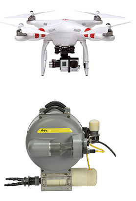
B. A. Hydro Solutions Ltd. (BAHS) are proud to introduce our new range of drone mounted aerial surveying systems. Using our new commercial rated drone BAHS are able to complete the following surveys of land, water and buildings:
The imaging outputs allow a wide range of analysis and interpretation. Surveys can cover large areas in very short periods of time enabling the ground conditions to be characterised rapidly and cost effectively. Processing of survey images allows the production of accurate CAD plans, 3D images and virtual reality simulations. |
Download Factsheet (pdf) |
|